

How Do Boundaries (Geofence) Work on GPS Systems?
What is a boundary?
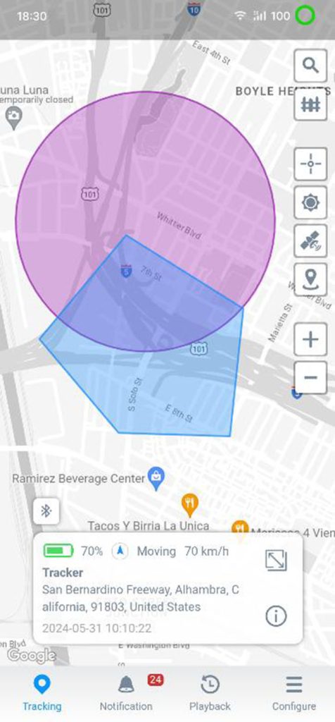
Well, boundaries or geofences are digital fences that allow users of GPS systems to get alerts on when something interacts with a specific place on the map. If the GPS tracker is placed on the thing you want to track, boundaries are drawn around the place you want to track.
How do boundaries work?
In the most basic sense, our system knows the location of the boundary, and when a tracker reports its position, we know its location. Once the system has both locations, it's a simple comparison to see if the tracker is inside the boundary or not.
At the most basic level, VOV GPS alerts let you know when something leaves a specified area at-a-glance. This means we'll send a report based on changes in that status. For example, we start with a report from a tracker inside the boundary, then, when it has moved outside the boundary, we will send you an alert that the tracker has left that specific area. The same thing will happen when a tracker enters a boundary–it will trigger an alert and let you know.
Setting up a boundary is super simple. You can see the process here.
You can set up unlimited boundaries for your trackers. That means, depending on what you're tracking–let's say, your equipment or fleet–you can get departure times from one location and compare them to arrival times at the next. This would allow you to create ETAs over time for your customers if this is something you would need.
Additionally, when combined with the User Role access, you can actively provide value to your customers. For example, your departure times can be shown to the crew that rented the equipment from you, so they know precisely when they will get to work with it, etc.
What Are the Practical Applications of Geofencing?
Virtually every company or organization that depends on fleet tracking (or is thinking about it) can benefit from geofencing.
Business fleet geofencing uses include:
- Fleet Management: Creating geofences around vital locations, like customer sites and warehouses, enables fleet managers to monitor vehicle movements in real time. Not only does this help keep a watchful eye on drivers, but the technology ensures critical deliveries are on track.
- Asset Tracking: Geofencing confirms that equipment, machinery, and valuable cargo are where they’re supposed to be. This is particularly useful for items that get moved around a lot. At the same time, geofencing can send alerts if something is unexpectedly moved from a secure area.
- Employee Monitoring: A geofence created around a job site can track attendance for employees and contractors and confirm they are where they’re supposed to be during working hours.
- Delivery Tracking: On-time deliveries can make or break a business. Geofencing helps track shipment progress and supports accurate delivery estimates. Most importantly, geofencing can provide advance warning of potential problems.
- Access Control: Fleet managers concerned about employees entering restricted areas can use geofencing to alert them to any issues. This tool can also be valuable for monitoring tall vehicles that enter roadways with height restrictions.
Example #1 Using Boundaries to Track Movement
To help them keep better track of their assets, especially during busier seasons, Island Golf Cart Rentals has features like Smart Boundaries & Notifications set up so they know when a golf cart leaves a previously authorized area they defined for their carts.
“We get an email or an alert through the app, and it’s really easy to follow up on and stay updated if anything were to happen.” And something did happen before. During their first summer in 2020, they had one of their golf carts stolen. They had the tracking set up but not defined boundaries – so they didn't realize that the cart had gone outside the authorized area it was allowed. This delayed their response time in locating the tracked cart.
With boundaries, they would have been able to know instantly when a cart left an authorized area so they could act quickly. Let's take a look at an example of where this prevention & recovery happened successfully.
Example #2 Using Boundaries for Theft Prevention & Recovery
One large retail brand uses Smart Boundary Notifications to know when any items leave store boundaries when they shouldn't–so they can track, prevent & recover stolen merchandise.
In fact, with accurate GPS location data and instant notifications, they were able to quickly work with law enforcement and obtain a warrant to recover their stolen merchandise.
“Thanks to these alerts, we've made over 100 arrests and recovered over $200,000 in merchandise from our GPS tracking activity. It’s been truly such an asset to our operations."